 Skip to main content

Key features
- Weekly Notices to Mariners (NMs) to ensure you have the latest safety-critical information
- Information clearly highlighting coastal areas, slipways and racing marks to aid navigation, as well as harbours and marinas
- Tidal information, abbreviations, radio services and symbols
- Convenient and durable, with each chart printed on A2 standard chart paper
|
Charts starting with number |
Title, notes and tidal information |
|---|---|
|
Charts starting with number 5600 |
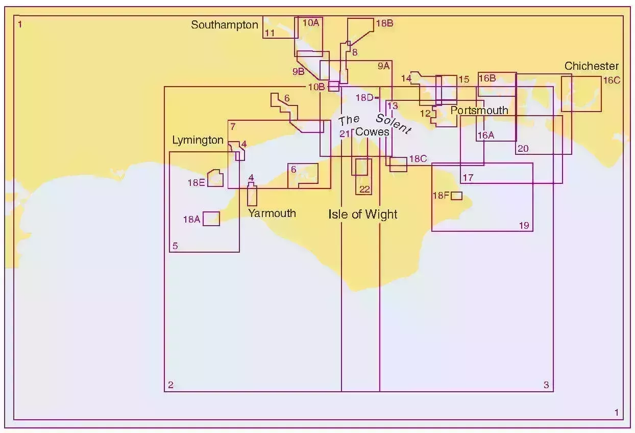
Title, notes and tidal information The Solent and Approaches |
|
Charts starting with number 5601 |
Title, notes and tidal information East Devon and Dorset Coast, Exmouth to Christchurch |
|
Charts starting with number 5602 |
Title, notes and tidal information The West Country, Falmouth to Teignmouth |
|
Charts starting with number 5603 |
Title, notes and tidal information Falmouth to Hartland Point, including the Isles of Scilly |
|
Charts starting with number 5604 |
Title, notes and tidal information The Channel Islands |
|
Charts starting with number 5605 |
Title, notes and tidal information Chichester to Ramsgate and Calais to Oostende |
|
Charts starting with number 5606 |
Title, notes and tidal information Thames Estuary, Ramsgate to Canvey Island |
|
Charts starting with number 5607 |
Title, notes and tidal information Thames Estuary, Essex and Suffolk CoastThames Estuary, Essex and Suffolk Coast |
|
Charts starting with number 5608 |
Title, notes and tidal information Bristol Channel |
|
Charts starting with number 5609 |
Title, notes and tidal information North West Wales, including Menai Strait |
|
Charts starting with number 5610 |
Title, notes and tidal information The Firth of Clyde |
|
Charts starting with number 5611 |
Title, notes and tidal information West Coast of Scotland |
|
Charts starting with number 5612 |
Title, notes and tidal information Northern Ireland, Carlingford Lough to Lough Foyle |
|
Charts starting with number 5613 |
Title, notes and tidal information Irish Sea, Eastern Part, including Isle of Man |
|
Charts starting with number 5614 |
Title, notes and tidal information England, East Coast, Orford Ness to Whitby |
|
Charts starting with number 5615 |
Title, notes and tidal information England, East Coast, Whitby to Edinburgh |
|
Charts starting with number 5616 |
Title, notes and tidal information Scotland, West Coast and Outer Hebrides |
|
Charts starting with number 5617 |
Title, notes and tidal information Scotland, East Coast |
|
Charts starting with number 5620 |
Title, notes and tidal information South West Wales |
|
Charts starting with number 5621 |
Title, notes and tidal information Ireland, East Coast, Carlingford Lough to Waterford |
|
Charts starting with number 5622 |
Title, notes and tidal information Ireland, South Coast, Waterford to Kinsale |
|
Charts starting with number 5623 |
Title, notes and tidal information Ireland, South West Coast, Bantry Bay to Kinsale |
Check whether you’re using the latest edition of your Small Craft Chart by downloading NP109A – Small Craft Chart Catalogue.
Title
Keeping your Small Craft Charts up-to-date
For guidance on how to apply Notices to Mariners (NMs), you can download our Guide to Keeping your Small Craft Chart up-to-date.
Available through Print on Demand (POD)
POD allows our ADMIRALTY Distributors to print ADMIRALTY Small Craft Chart Service charts on site and fulfil your ship's urgent orders in the quickest time possible.
You can find out which ADMIRALTY Distributors offer POD on our How to buy page.